Birmingham A-Z Street Atlas: Accurate street map for easy navigation (A5) (Ninth edition)
Navigate your way around Birmingham with this detailed and easy-to-use A-Z Street Atlas.
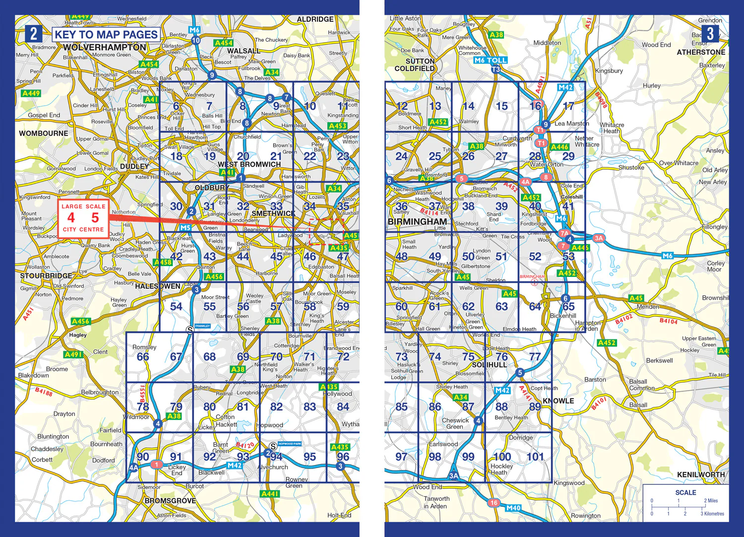
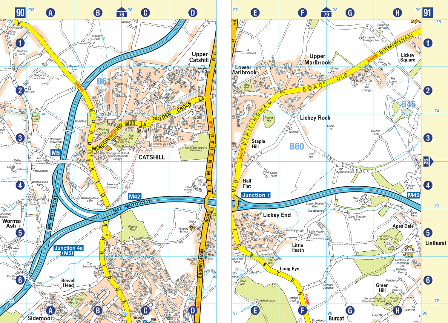
Printed in full-colour, paperback format, this atlas contains 96 pages of continuous street mapping in a NEW A5 format for ease of use.
Coverage extends to include: Wednesbury, Coleshill, Knowle, Alvechurch, Rubery, Smethick, and West Bromwich.
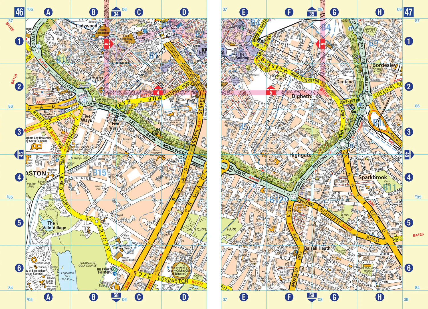
There are large scale city centre maps of Birmingham and Wolverhampton and a West Midlands rail and Midland Metro transport connections map.
Postcode districts and one-way streets are featured on the mapping.
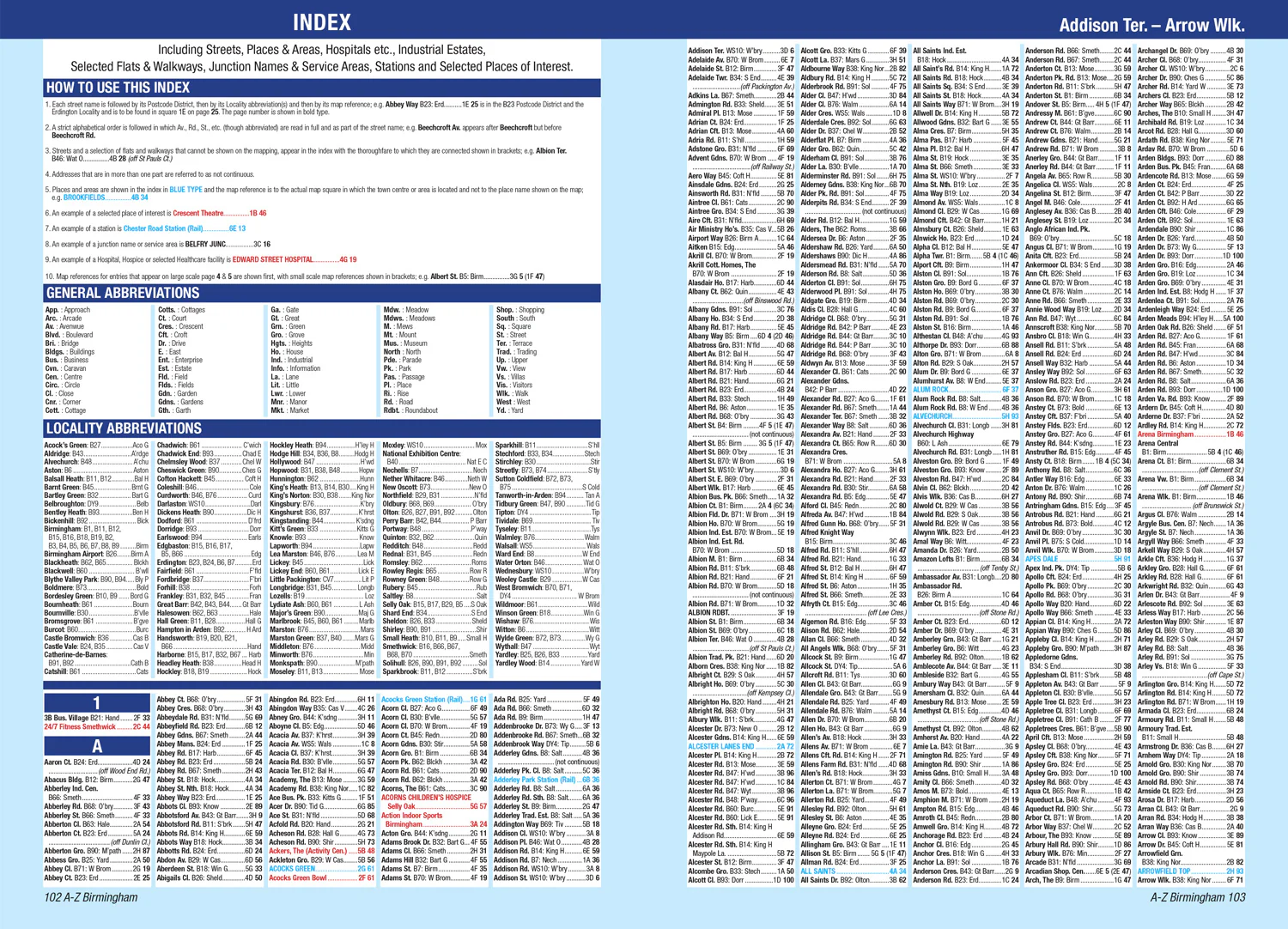
The index section lists streets; selected flats, walkways and places of interest; place and area names; National Rail and Midland Metro stations; hospitals, NHS Walk-in Centres and hospices.
Description
Navigate your way around Birmingham with this detailed and easy-to-use A-Z Street Atlas.
Printed in full-colour, paperback format, this atlas contains 96 pages of continuous street mapping in a NEW A5 format for ease of use.
Coverage extends to include: Wednesbury, Coleshill, Knowle, Alvechurch, Rubery, Smethick, and West Bromwich.
There are large scale city centre maps of Birmingham and Wolverhampton and a West Midlands rail and Midland Metro transport connections map.
Postcode districts and one-way streets are featured on the mapping.
The index section lists streets; selected flats, walkways and places of interest; place and area names; National Rail and Midland Metro stations; hospitals, NHS Walk-in Centres and hospices.