Sheffield A-Z Pocket Street Map: Accurate street map for easy navigation (Second edition)
Navigate your way around Sheffield with detailed street maps from A-Z
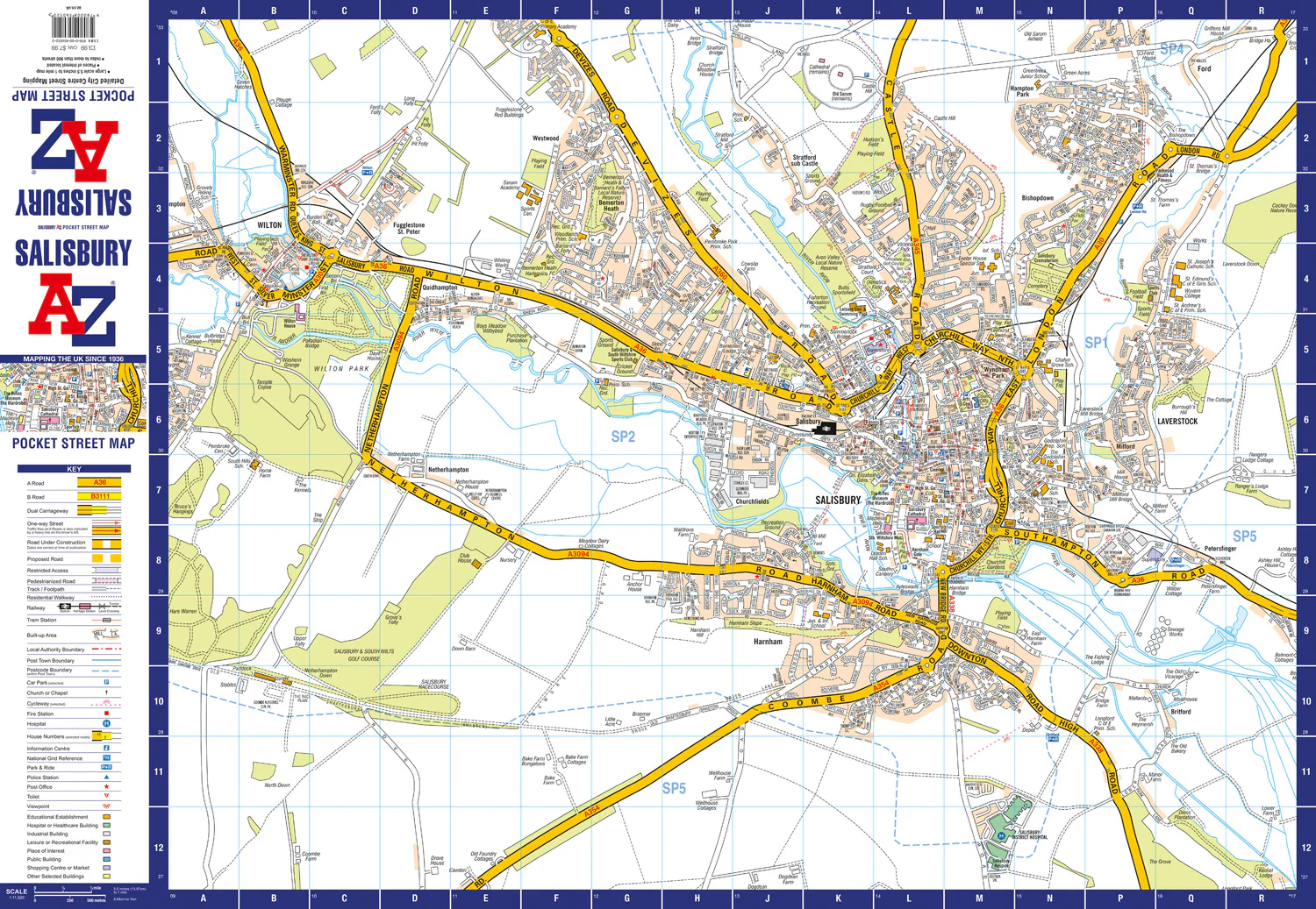
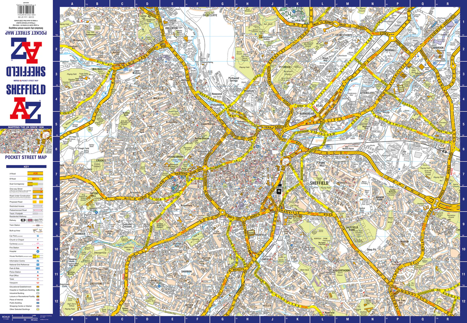
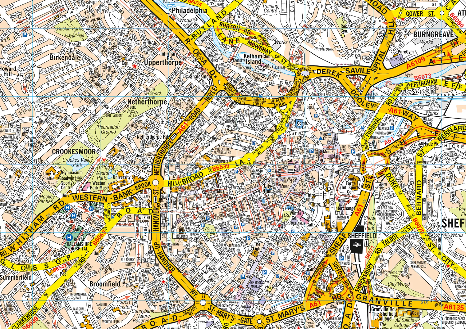
This up-to-date, folded A-Z street map includes more than 3,000 streets in and around Sheffield. As well as the central shopping area, the other areas covered are Park Hill, Burngreave, Netherthorpe, Crookesmoor, Broomfield and Highfield
The large scale street map includes the following:
• Places of interest
• One-way streets and car parks
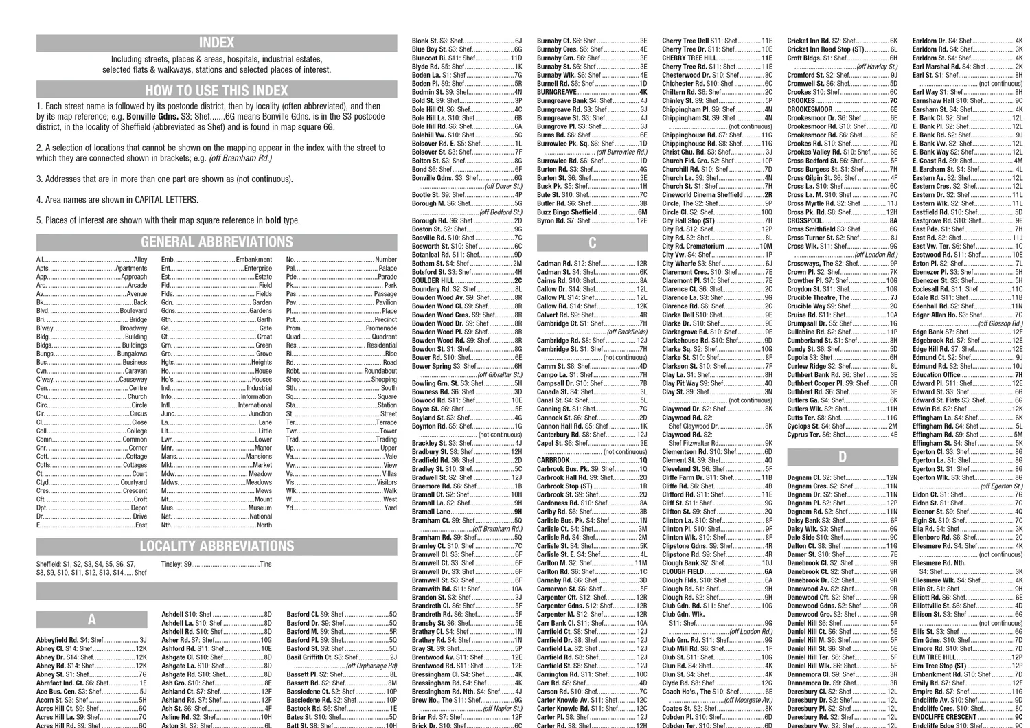
• Index to streets, places of interest, place and area names, park and ride sites, national rail stations, hospitals and hospices
The perfect reference map for finding your way around Sheffield.
Original: $5.35
-65%$5.35
$1.87

Description
Navigate your way around Sheffield with detailed street maps from A-Z
This up-to-date, folded A-Z street map includes more than 3,000 streets in and around Sheffield. As well as the central shopping area, the other areas covered are Park Hill, Burngreave, Netherthorpe, Crookesmoor, Broomfield and Highfield
The large scale street map includes the following:
• Places of interest
• One-way streets and car parks
• Index to streets, places of interest, place and area names, park and ride sites, national rail stations, hospitals and hospices
The perfect reference map for finding your way around Sheffield.