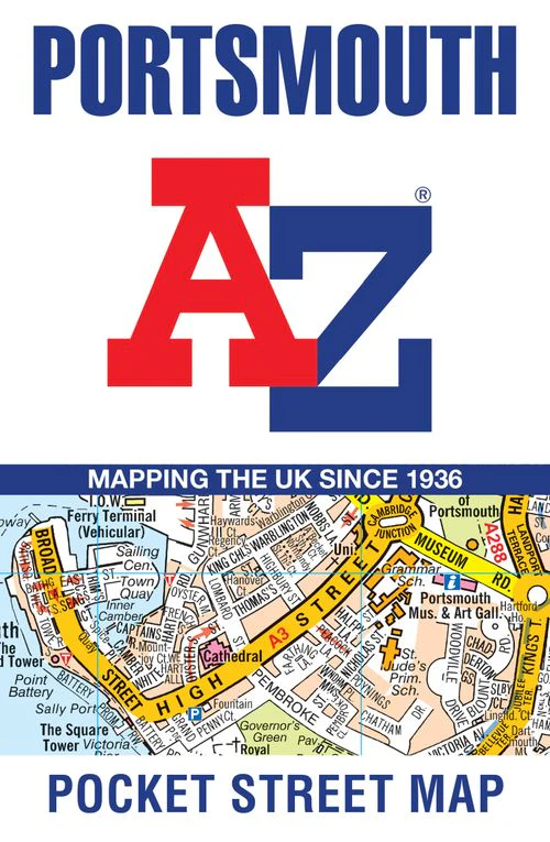
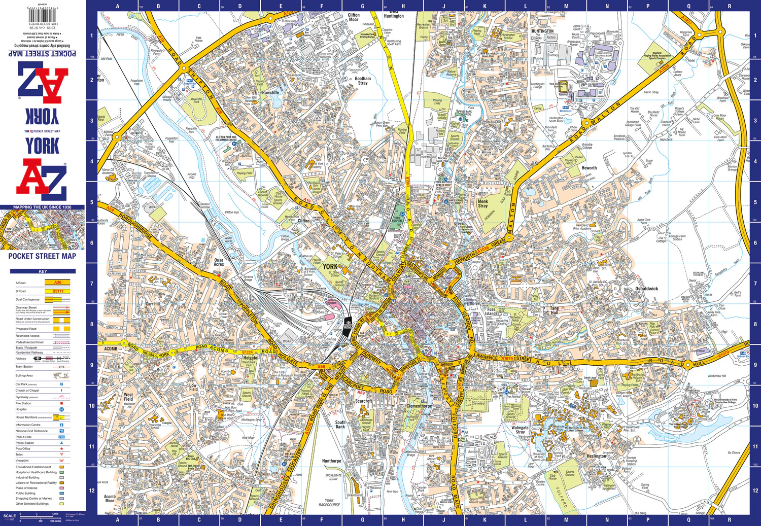
York A-Z Pocket Street Map: Accurate street map for easy navigation (Second edition)
Navigate your way around York with detailed street maps from A-Z
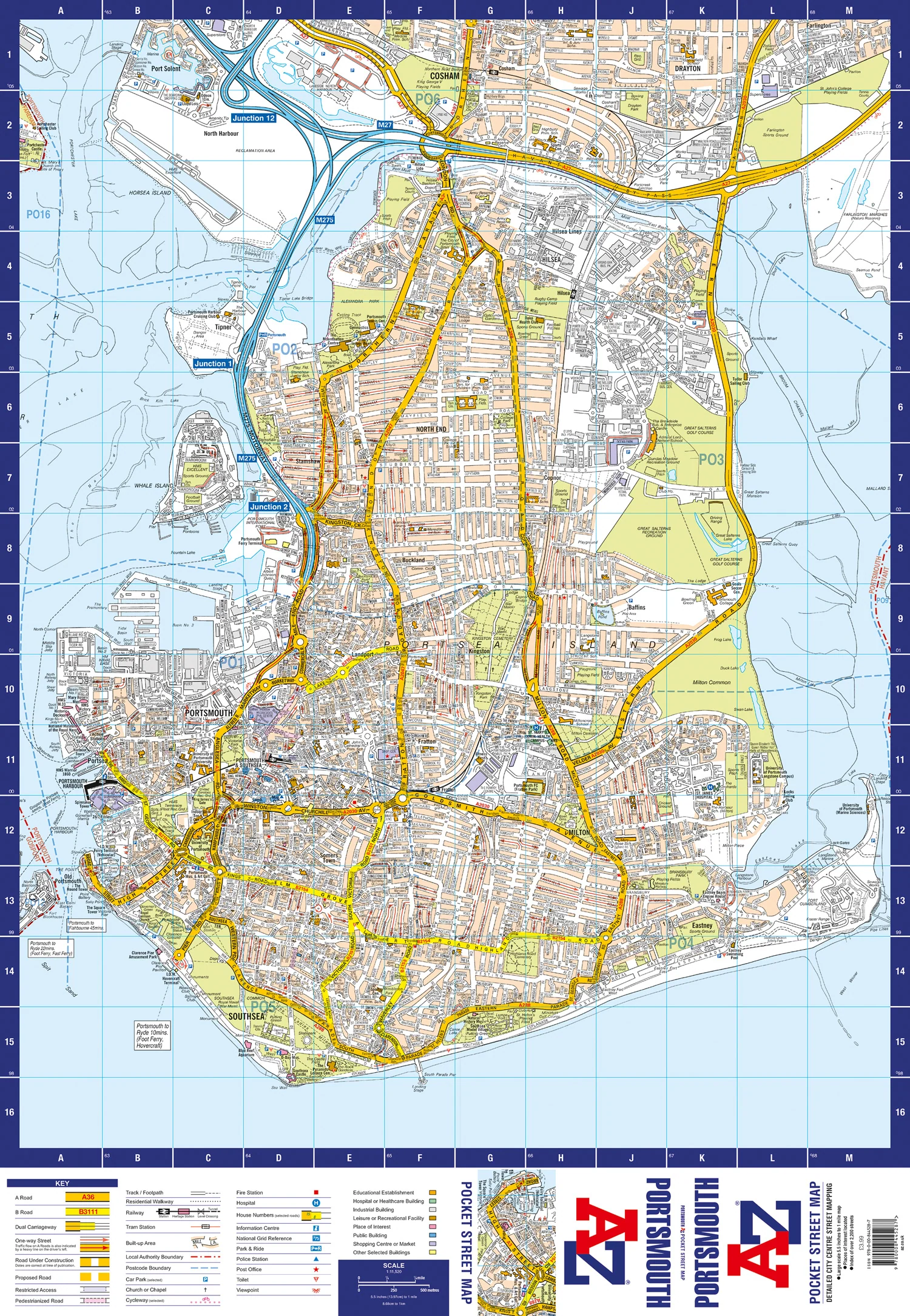
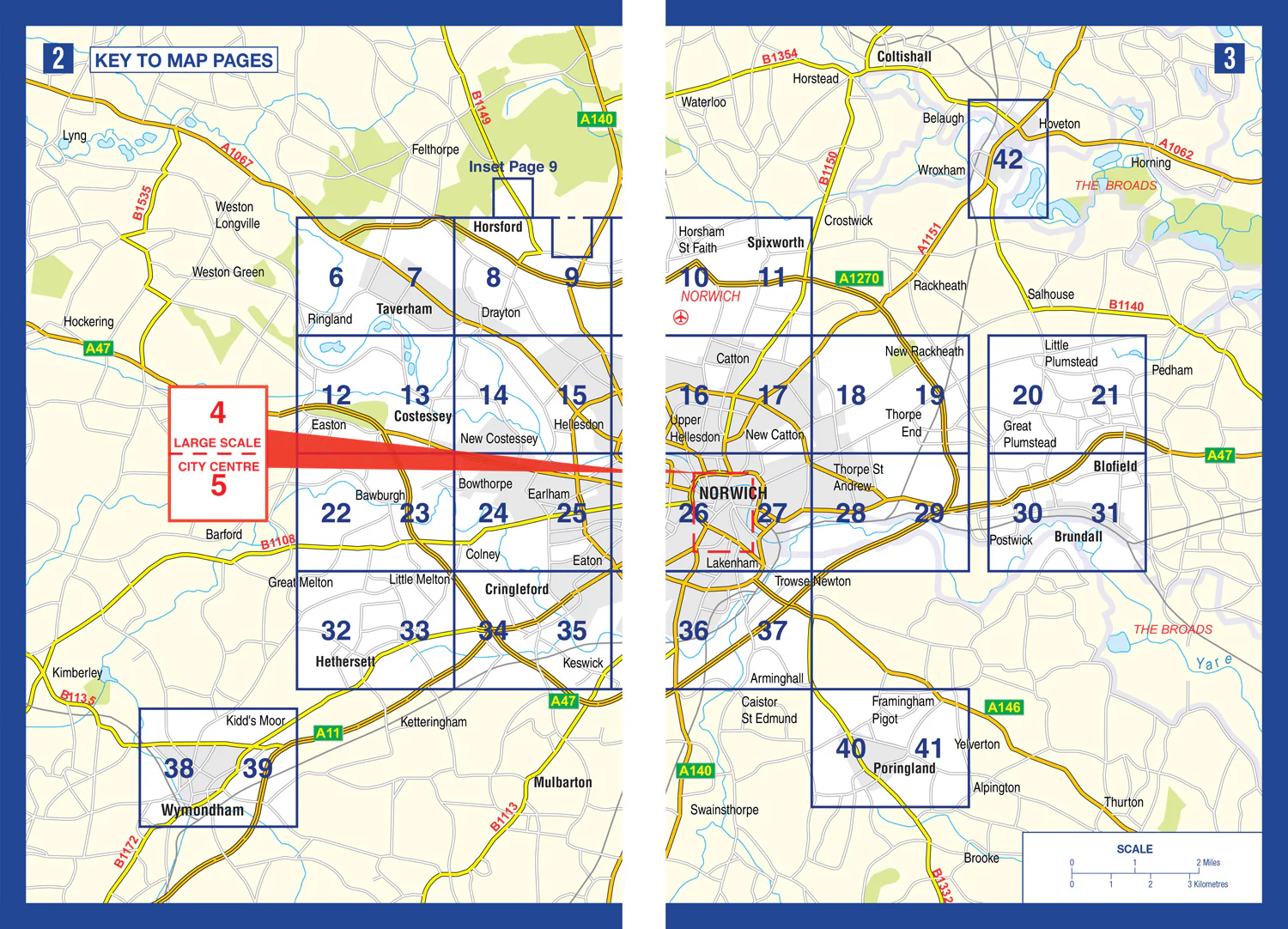
This up-to-date, folded A-Z street map includes all of the 1,500 streets in and around York. As well as the city centre the other areas covered are Woodthorpe, Dringhouses, Nunthorpe, Holgate, South Bank, The Rise, Bootham, Badger Hill, Tang Hall and Heworth.
The large scale 1 mile to 4.5 inch street map includes the following;
• Places of interest
• Postcode districts, one-way streets and car parks
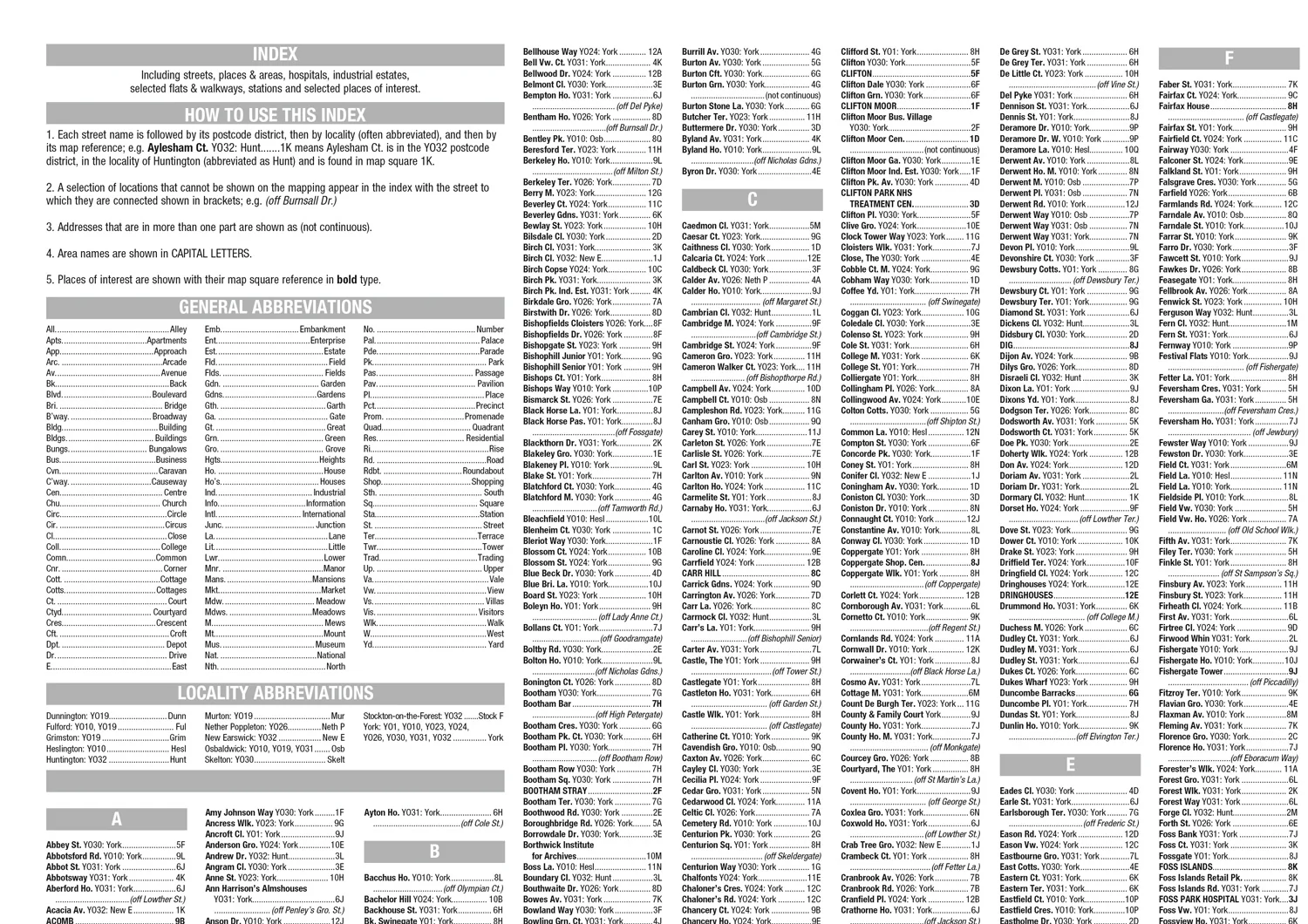
• Index to streets, places of interest, place and area names, park and ride sites, national rail stations, hospitals and hospices
The perfect reference map for finding your way around York.
Original: $5.35
-65%$5.35
$1.87


Description
Navigate your way around York with detailed street maps from A-Z
This up-to-date, folded A-Z street map includes all of the 1,500 streets in and around York. As well as the city centre the other areas covered are Woodthorpe, Dringhouses, Nunthorpe, Holgate, South Bank, The Rise, Bootham, Badger Hill, Tang Hall and Heworth.
The large scale 1 mile to 4.5 inch street map includes the following;
• Places of interest
• Postcode districts, one-way streets and car parks
• Index to streets, places of interest, place and area names, park and ride sites, national rail stations, hospitals and hospices
The perfect reference map for finding your way around York.