Southampton A-Z Street Atlas: Navigate your way around Southampton with ease using trusted mapping (Tenth edition)
Southampton A-Z Street Atlas: Navigate your way around Southampton with ease using trusted mapping (Tenth edition)
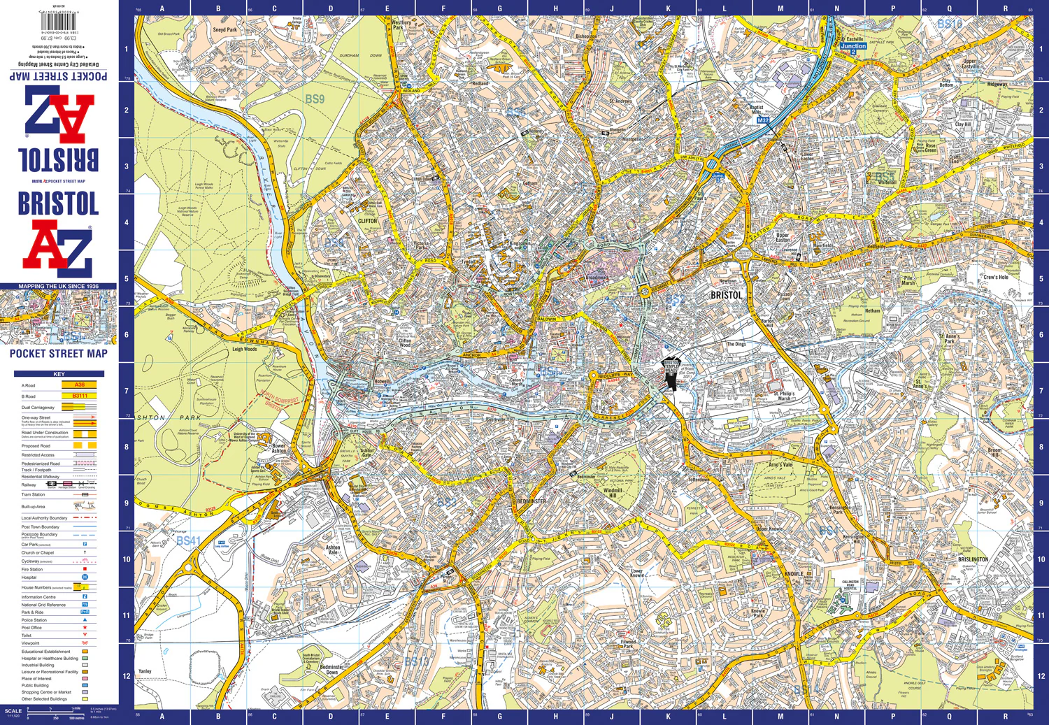
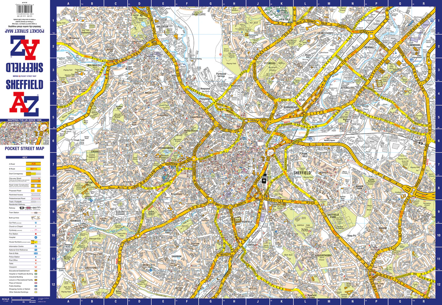
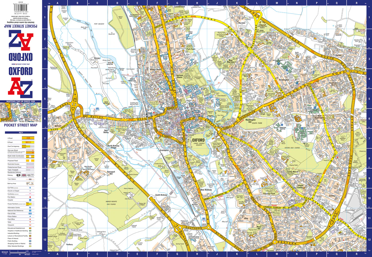
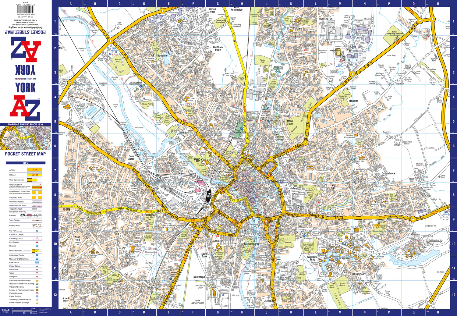
Navigate your way around Southampton with this detailed and easy-to-use A-Z Street Atlas.
Printed in full-colour, paperback format, this atlas contains 50 pages of continuous street mapping.
The main mapping extends beyond central Southampton at a scale of 4 inches to 1 mile, featuring postcode districts, one-way streets, park and ride sites, and safety camera locations. Areas covered include:
• Eastleigh
• Fawley
• Hythe
• Romsey
• Southampton Airport
• Totton
• Chandler's Ford
• Hamble-le-Rice
• Hedge End
• North Baddesley
The large-scale street map of Southampton city centre – at a scale of 8 inches to 1 mile – includes:
• Postcode map of the Southampton area
• Road map of the Southampton area
• New Forest National Park boundaries
A comprehensive index lists streets, selected flats, walkways and places of interest, place, area and station names. Additional healthcare (hospitals, walk-in centres and hospices) are indexed as well.
Original: $12.05
-65%$12.05
$4.22


Description
Navigate your way around Southampton with this detailed and easy-to-use A-Z Street Atlas.
Printed in full-colour, paperback format, this atlas contains 50 pages of continuous street mapping.
The main mapping extends beyond central Southampton at a scale of 4 inches to 1 mile, featuring postcode districts, one-way streets, park and ride sites, and safety camera locations. Areas covered include:
• Eastleigh
• Fawley
• Hythe
• Romsey
• Southampton Airport
• Totton
• Chandler's Ford
• Hamble-le-Rice
• Hedge End
• North Baddesley
The large-scale street map of Southampton city centre – at a scale of 8 inches to 1 mile – includes:
• Postcode map of the Southampton area
• Road map of the Southampton area
• New Forest National Park boundaries
A comprehensive index lists streets, selected flats, walkways and places of interest, place, area and station names. Additional healthcare (hospitals, walk-in centres and hospices) are indexed as well.