Manchester A-Z Pocket Street Map: Accurate street map for easy navigation
Navigate your way around Manchester with detailed street maps from A-Z
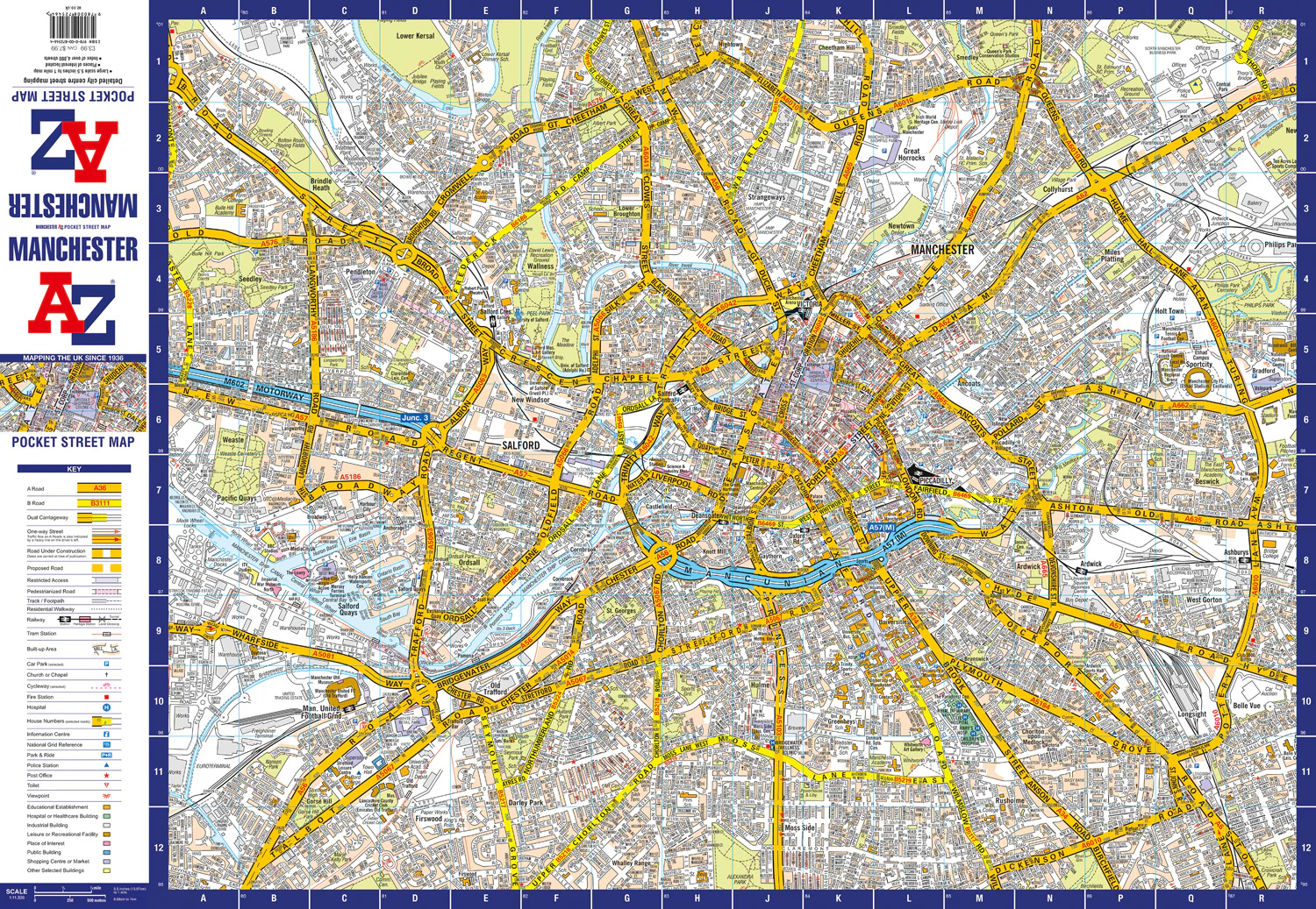
This up-to-date, folded A-Z street map includes all of the 4,500 streets in and around Manchester. As well as the Northern Quarter and Spinningfields, the other areas covered include Moss Side, Ordsall, Weaste, Salford, Seedley, Lower Kersal, Strangeways, Miles Platting and West Gorton.
The large-scale street map includes the following:
- Places of interest
- Postcode districts, one-way streets and car parks
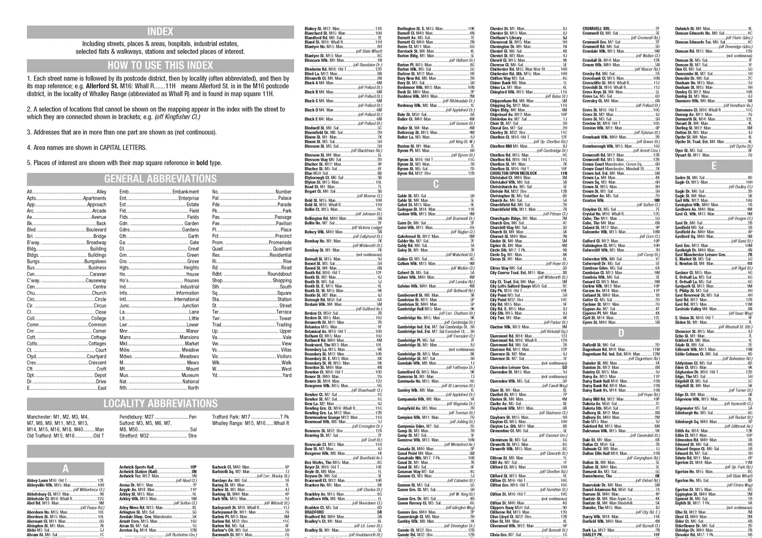
- Index to streets, places of interest, place and area names, park and ride sites, national rail stations, hospitals and hospices
The perfect reference map for finding your way around Manchester.


Description
Navigate your way around Manchester with detailed street maps from A-Z
This up-to-date, folded A-Z street map includes all of the 4,500 streets in and around Manchester. As well as the Northern Quarter and Spinningfields, the other areas covered include Moss Side, Ordsall, Weaste, Salford, Seedley, Lower Kersal, Strangeways, Miles Platting and West Gorton.
The large-scale street map includes the following:
- Places of interest
- Postcode districts, one-way streets and car parks
- Index to streets, places of interest, place and area names, park and ride sites, national rail stations, hospitals and hospices
The perfect reference map for finding your way around Manchester.