Great Britain A-Z Road Map: Navigate Great Britain with ease using trusted mapping (35th edition)
Great Britain A-Z Road Map: Navigate Great Britain with ease using trusted mapping (35th edition)
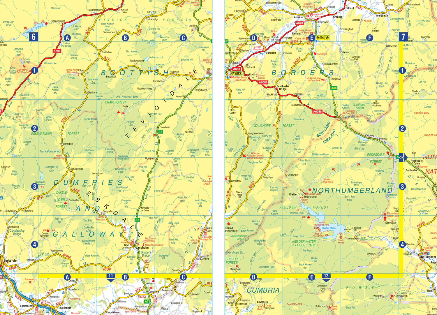
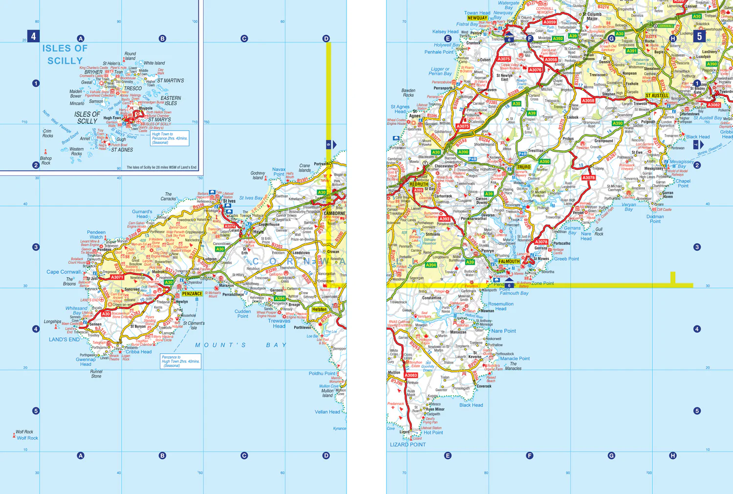
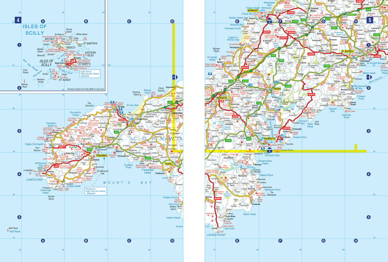
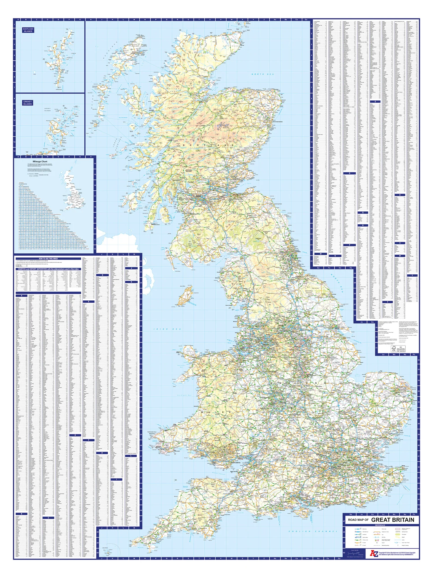
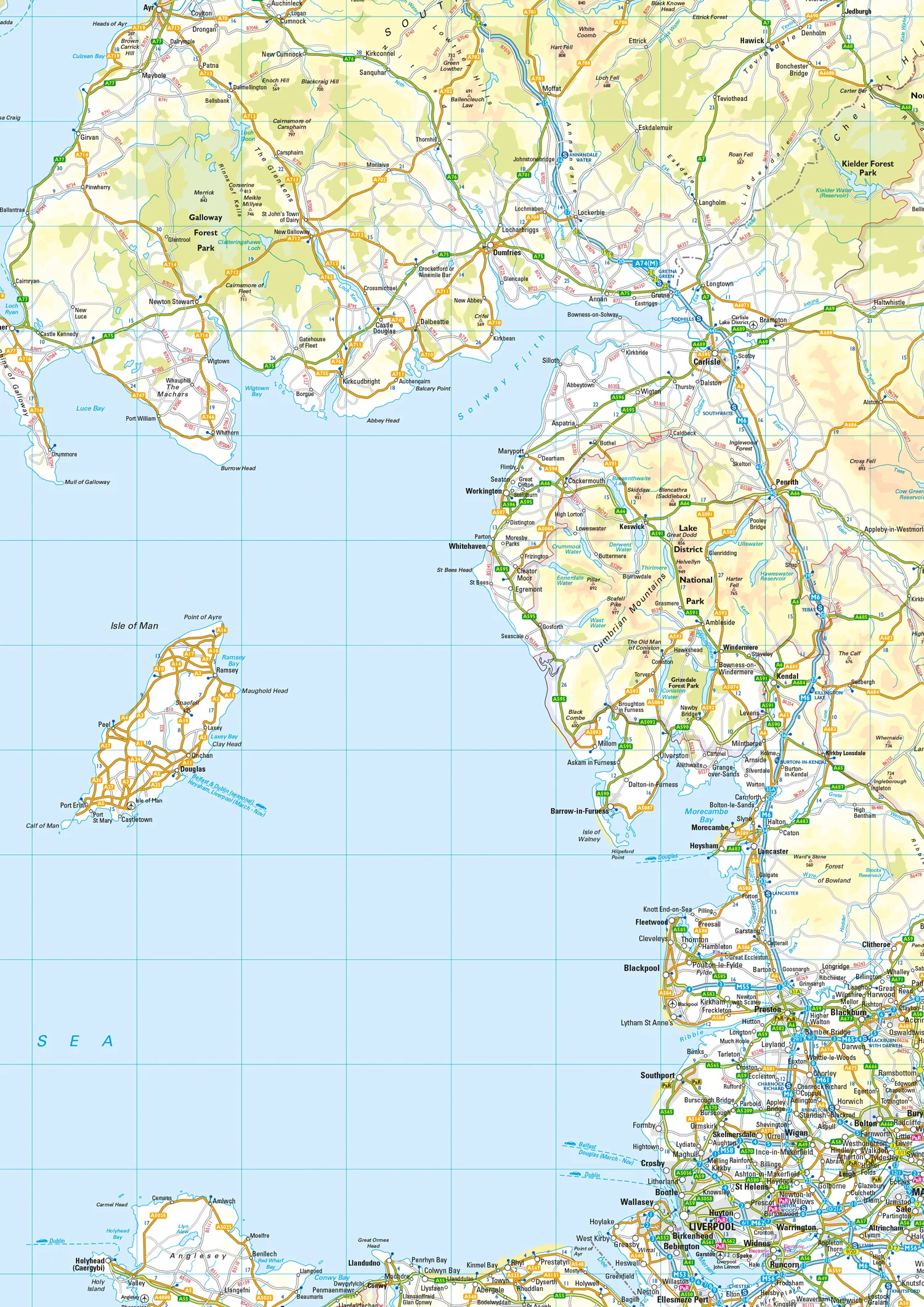
A single-sided, fold-out road map featuring motorways, primary routes, 'A' Roads and a selection of other routes in full-colour. Mapping you can trust from A-Z.
With its clear road network this map is ideal for transport planning, logistics and route finding.
Main features:
- Clear mapping at a scale of 13 miles to 1 inch / 8 km to 1 cm
- All major routes along with locations of main service stations
- A helpful index of more that 4500, including: a list of cities, towns, villages, hamlets and locations printed in panels around the mapping
- Ferry routes and a mileage chart
This map combines the simplicity of a route planning map with a great level of detail. It’s perfect for planning and travelling long distances around England, Scotland and Wales.
Original: $9.37
-65%$9.37
$3.28
Description
A single-sided, fold-out road map featuring motorways, primary routes, 'A' Roads and a selection of other routes in full-colour. Mapping you can trust from A-Z.
With its clear road network this map is ideal for transport planning, logistics and route finding.
Main features:
- Clear mapping at a scale of 13 miles to 1 inch / 8 km to 1 cm
- All major routes along with locations of main service stations
- A helpful index of more that 4500, including: a list of cities, towns, villages, hamlets and locations printed in panels around the mapping
- Ferry routes and a mileage chart
This map combines the simplicity of a route planning map with a great level of detail. It’s perfect for planning and travelling long distances around England, Scotland and Wales.