South West England A-Z Road Atlas
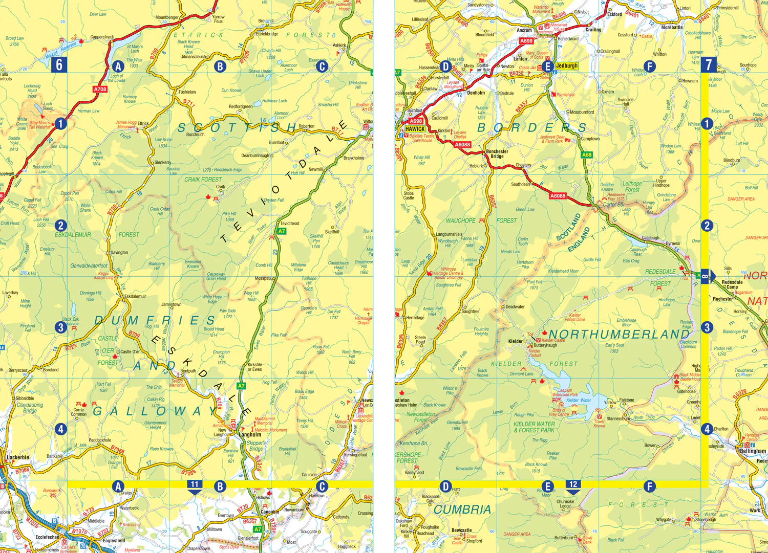
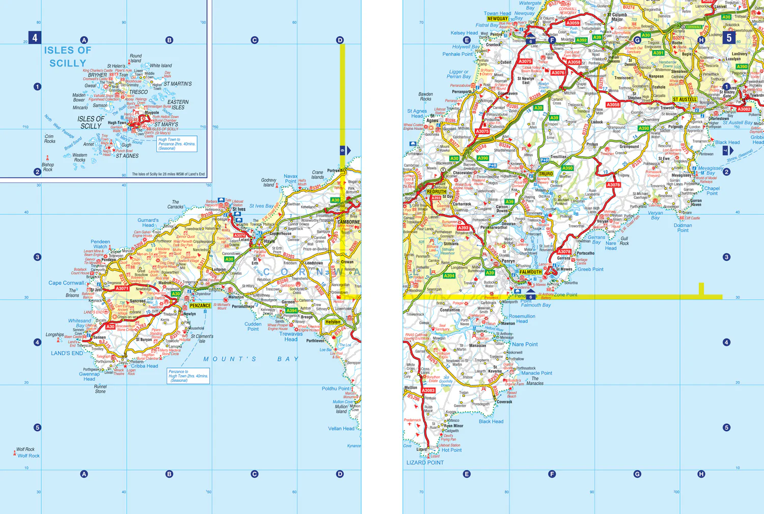
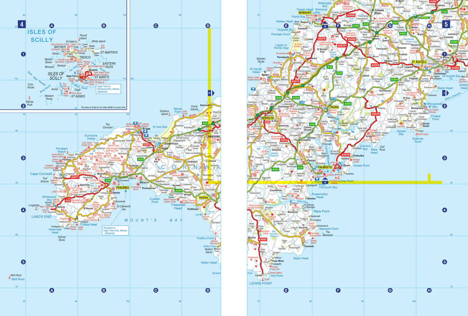
This full-colour road atlas features 30 pages of continuous road mapping. Includes Cornwall, Devon, Dorset, Plymouth Somerset and Torbay.
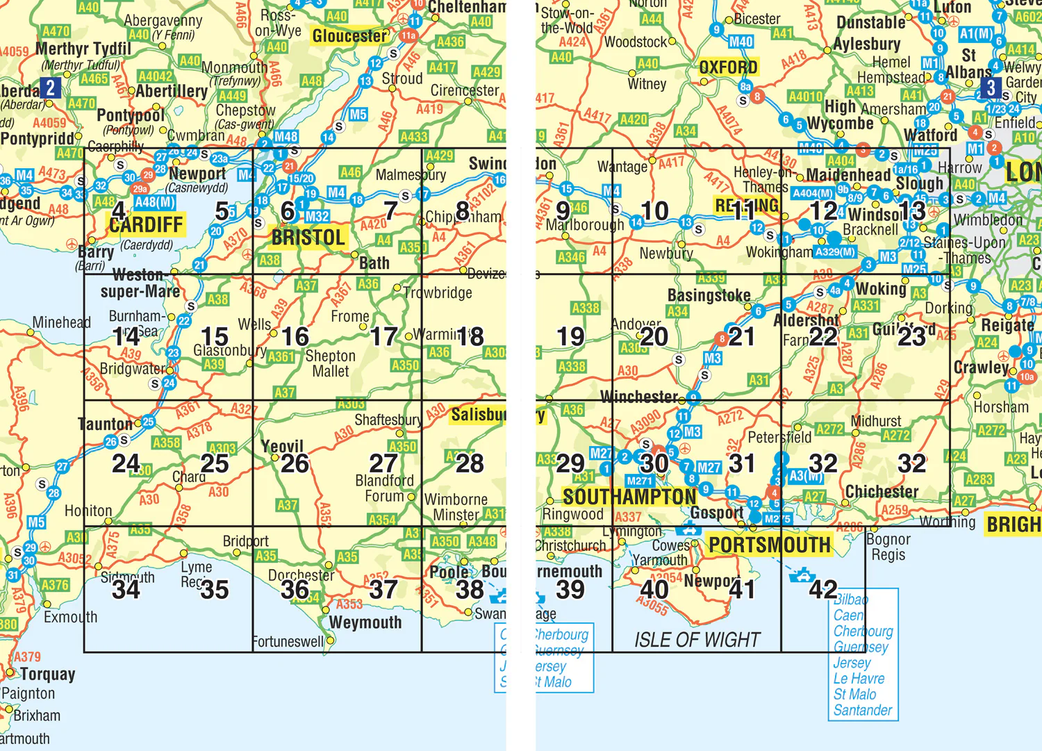
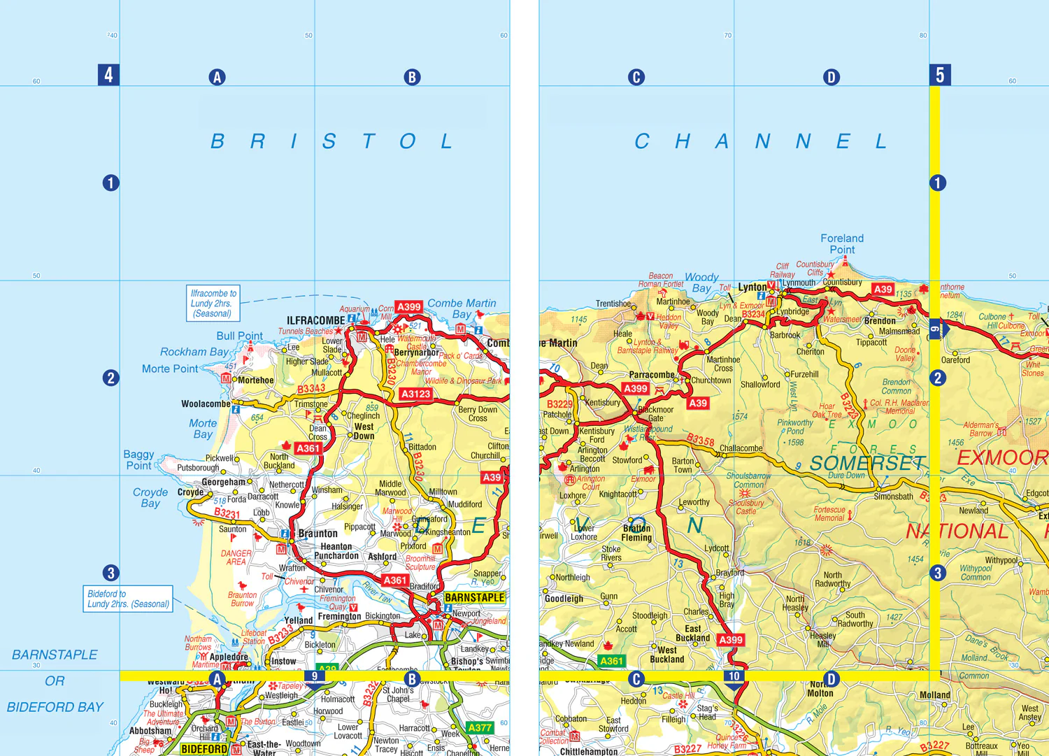
Published at a clear 2.5 miles to 1 inch the following features are shown on the road mapping:
- Motorways with full junction detail, primary routes and destinations, A & B roads, under construction and proposed roads, service areas, tolls, mileages, county and unitary authority boundaries
- Selected places of interest and tourist information centres
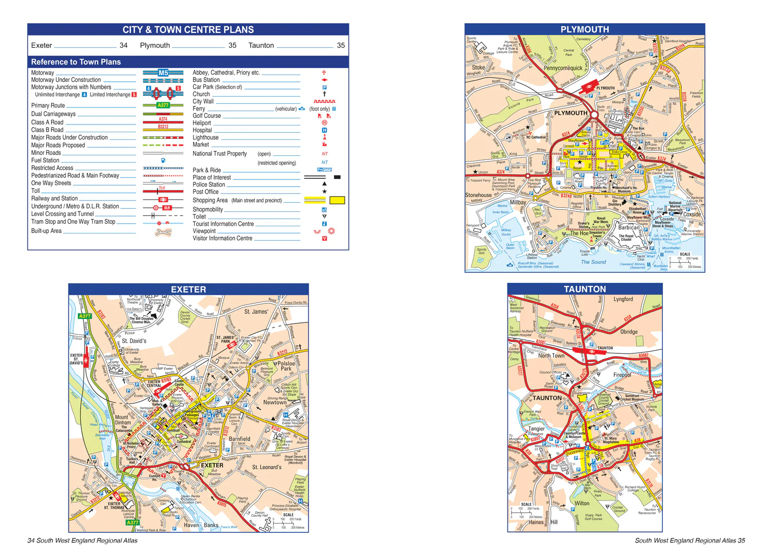
Also included are 3 city plans for Exeter, Plymouth and Taunton.
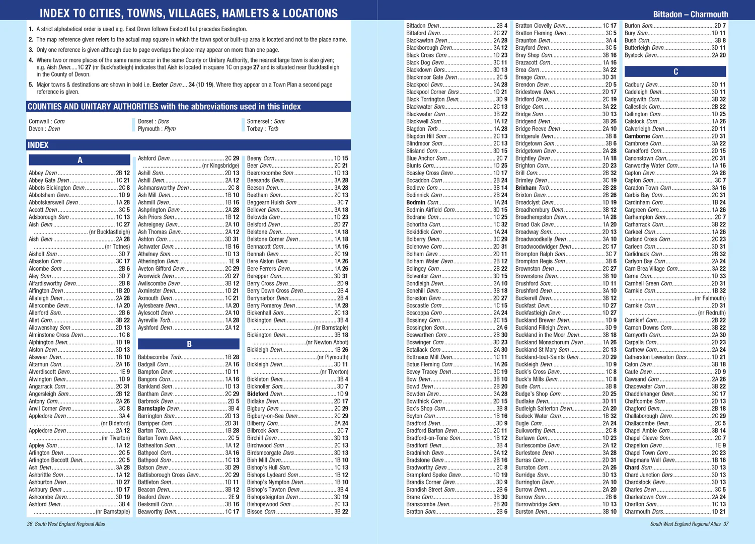
The comprehensive index section lists cities, towns, villages, hamlets and locations covered by this atlas.
Original: $10.71
-65%$10.71
$3.75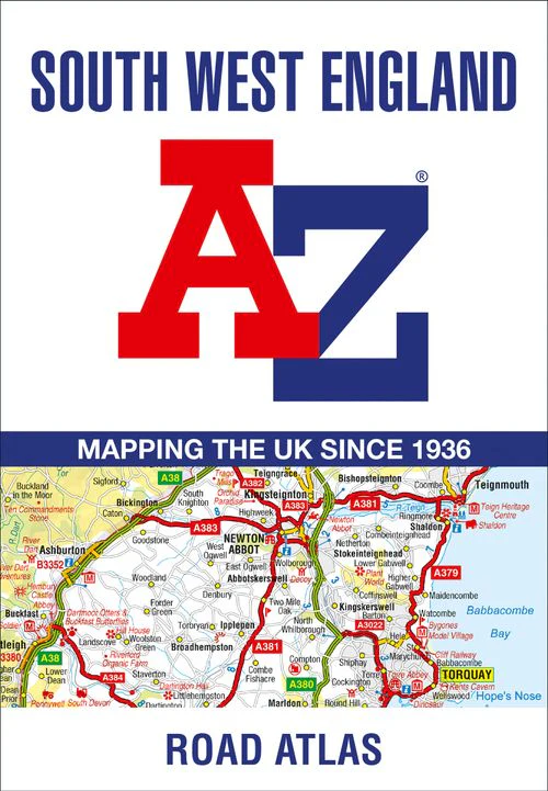

Description
This full-colour road atlas features 30 pages of continuous road mapping. Includes Cornwall, Devon, Dorset, Plymouth Somerset and Torbay.
Published at a clear 2.5 miles to 1 inch the following features are shown on the road mapping:
- Motorways with full junction detail, primary routes and destinations, A & B roads, under construction and proposed roads, service areas, tolls, mileages, county and unitary authority boundaries
- Selected places of interest and tourist information centres
Also included are 3 city plans for Exeter, Plymouth and Taunton.
The comprehensive index section lists cities, towns, villages, hamlets and locations covered by this atlas.