Eastern England A-Z Road Atlas
A full-colour, regional road atlas from A-Z Maps. Featuring more than 50 pages of continuous mapping of regions in the east of England.
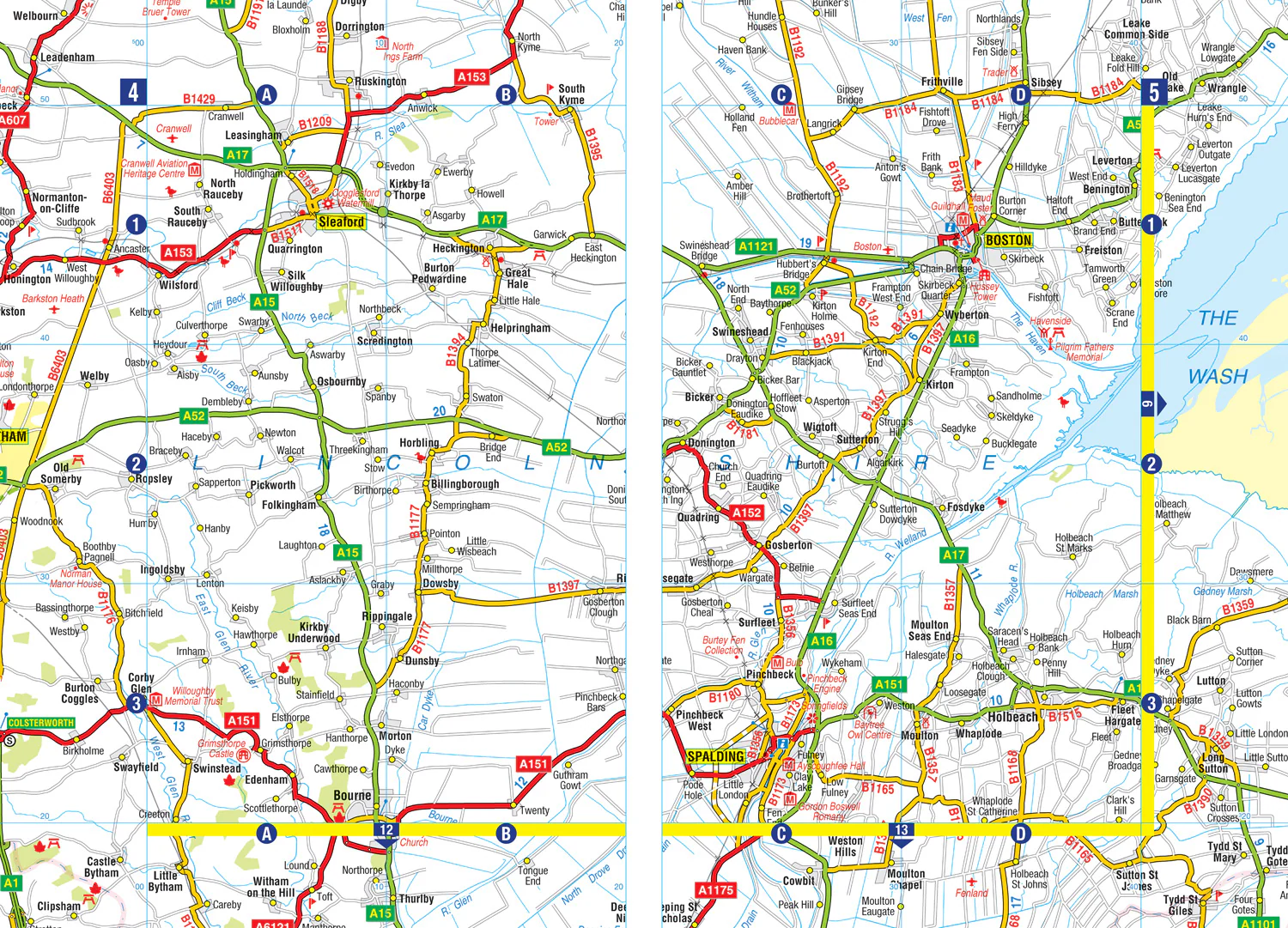
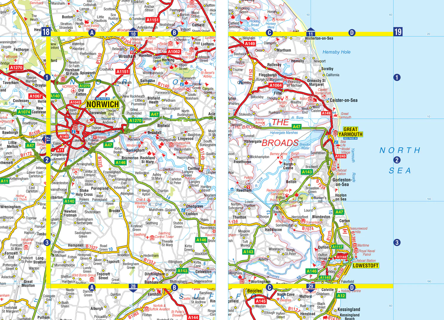
Published at a clear 2.5 miles to 1 inch the following features are shown on the road mapping:
- Motorways with full junction detail, primary routes and destinations, A & B roads, under construction and proposed roads, service areas, tolls, mileages, county and unitary authority boundaries
- National Park boundaries
- Selected places of interest and tourist information centres
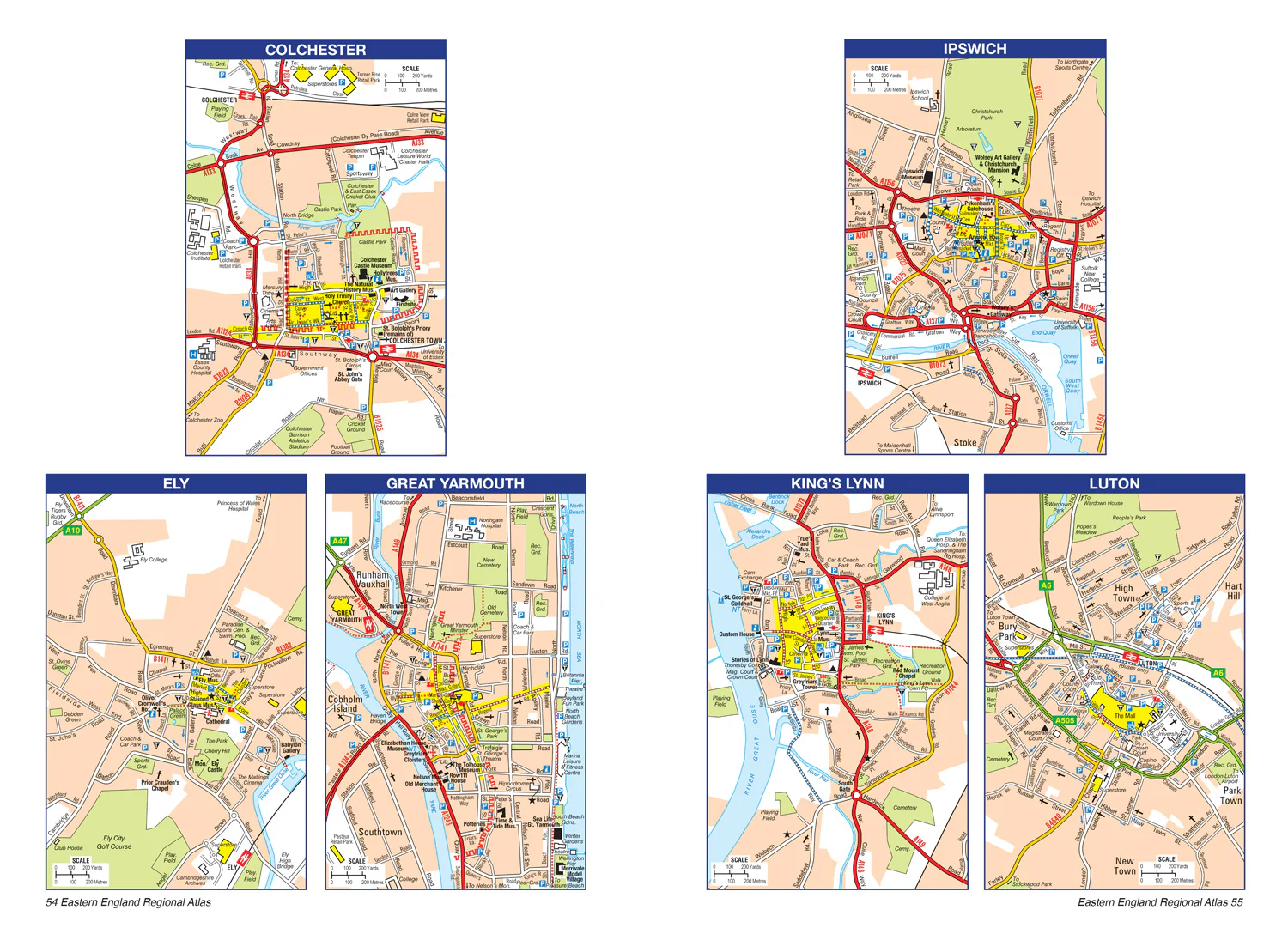
- Separate city, town, airport, and port plans
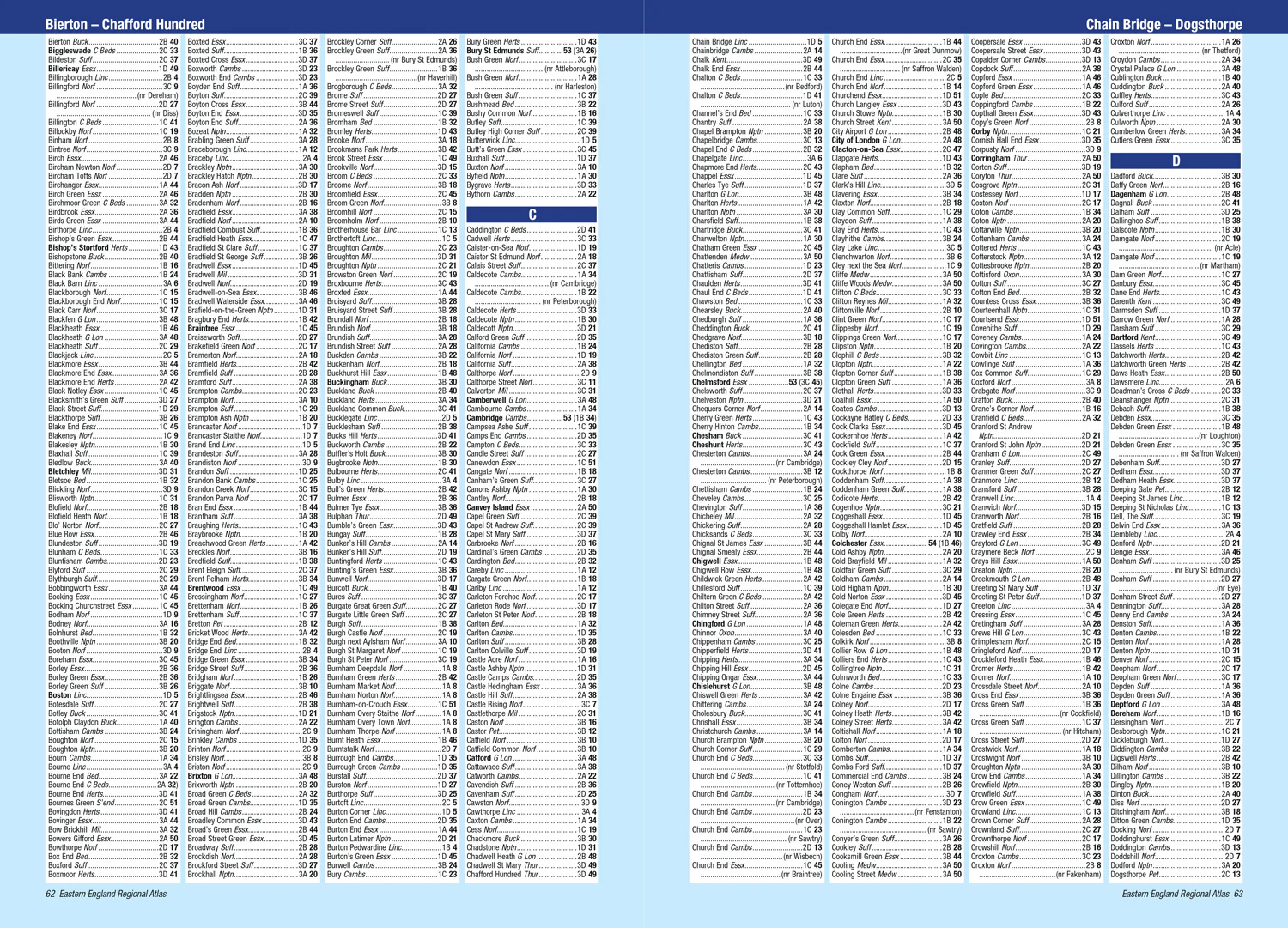
The comprehensive index section lists cities, towns, villages, hamlets and locations covered by this atlas.
$3.75
Original: $10.71
-65%Eastern England A-Z Road Atlas—
$10.71
$3.75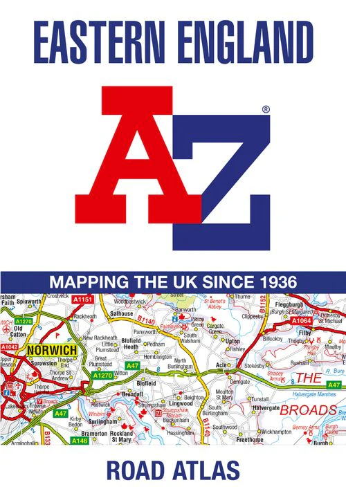
Description
A full-colour, regional road atlas from A-Z Maps. Featuring more than 50 pages of continuous mapping of regions in the east of England.
Published at a clear 2.5 miles to 1 inch the following features are shown on the road mapping:
- Motorways with full junction detail, primary routes and destinations, A & B roads, under construction and proposed roads, service areas, tolls, mileages, county and unitary authority boundaries
- National Park boundaries
- Selected places of interest and tourist information centres
- Separate city, town, airport, and port plans
The comprehensive index section lists cities, towns, villages, hamlets and locations covered by this atlas.