Children’s Wall Map of the United Kingdom and Ireland: Ideal way for kids to improve their UK knowledge (First edition)
Children’s Wall Map of the United Kingdom and Ireland: Ideal way for kids to improve their UK knowledge (First edition)
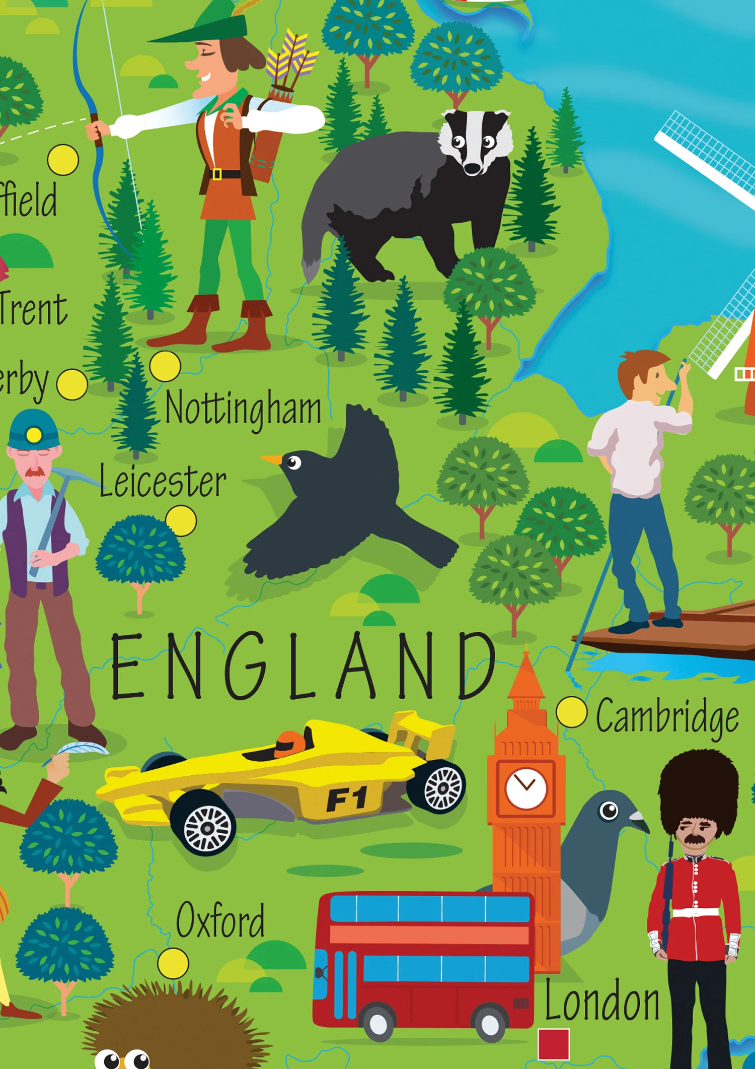
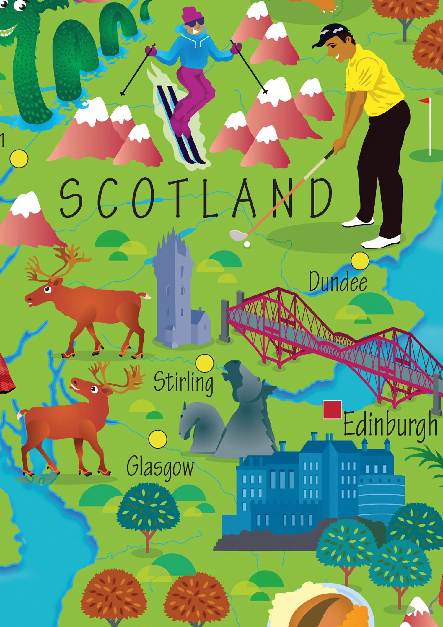
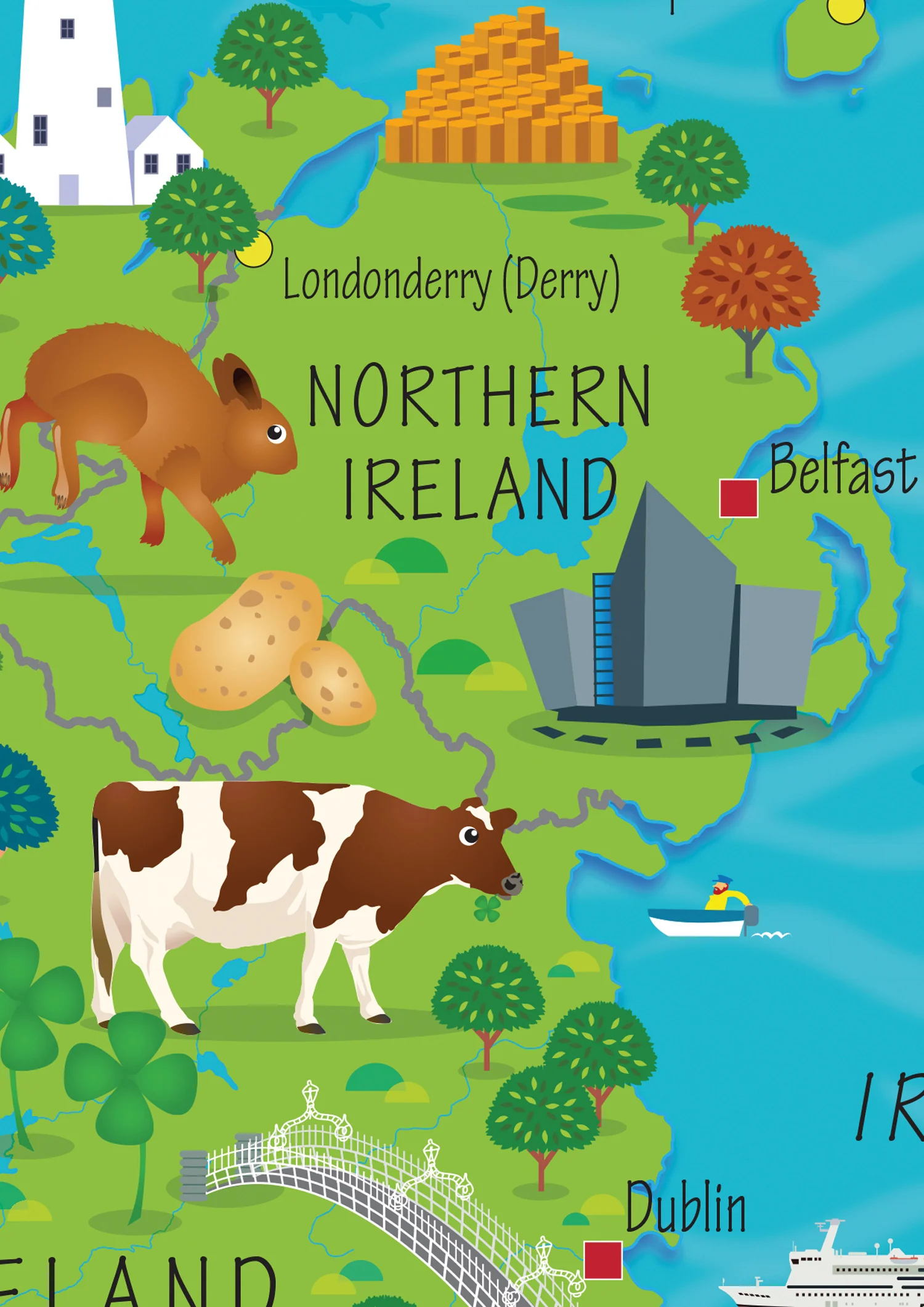
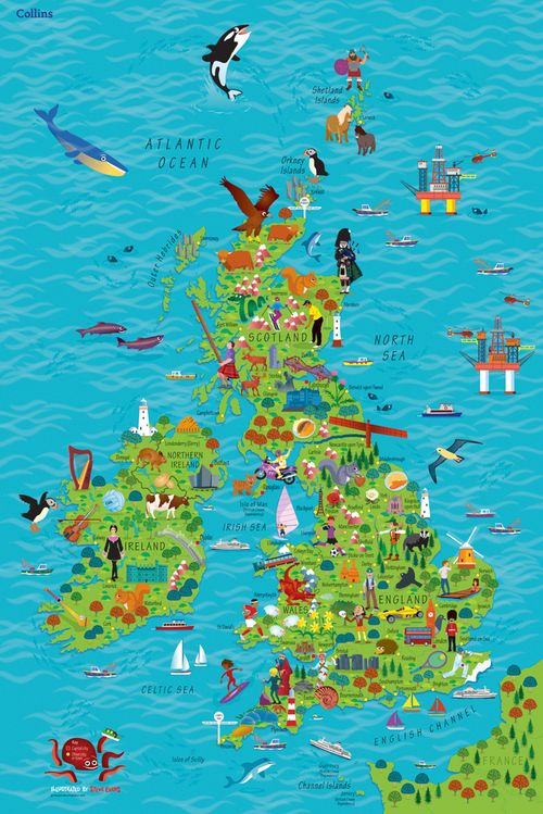
Colourful Illustrated Map of the United Kingdom and Ireland
This highly illustrated, rolled pictorial map is designed to take children on a journey of discovery around the United Kingdom and Ireland.
Stunning illustrations are used to depict themes such as national emblems, customs, food, birds, animals, buildings and sports to help younger readers gain an understanding of peoples around the world.
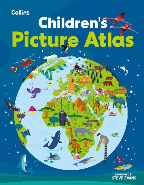
Illustrated by Steve Evans.

Description
Colourful Illustrated Map of the United Kingdom and Ireland
This highly illustrated, rolled pictorial map is designed to take children on a journey of discovery around the United Kingdom and Ireland.
Stunning illustrations are used to depict themes such as national emblems, customs, food, birds, animals, buildings and sports to help younger readers gain an understanding of peoples around the world.
Illustrated by Steve Evans.